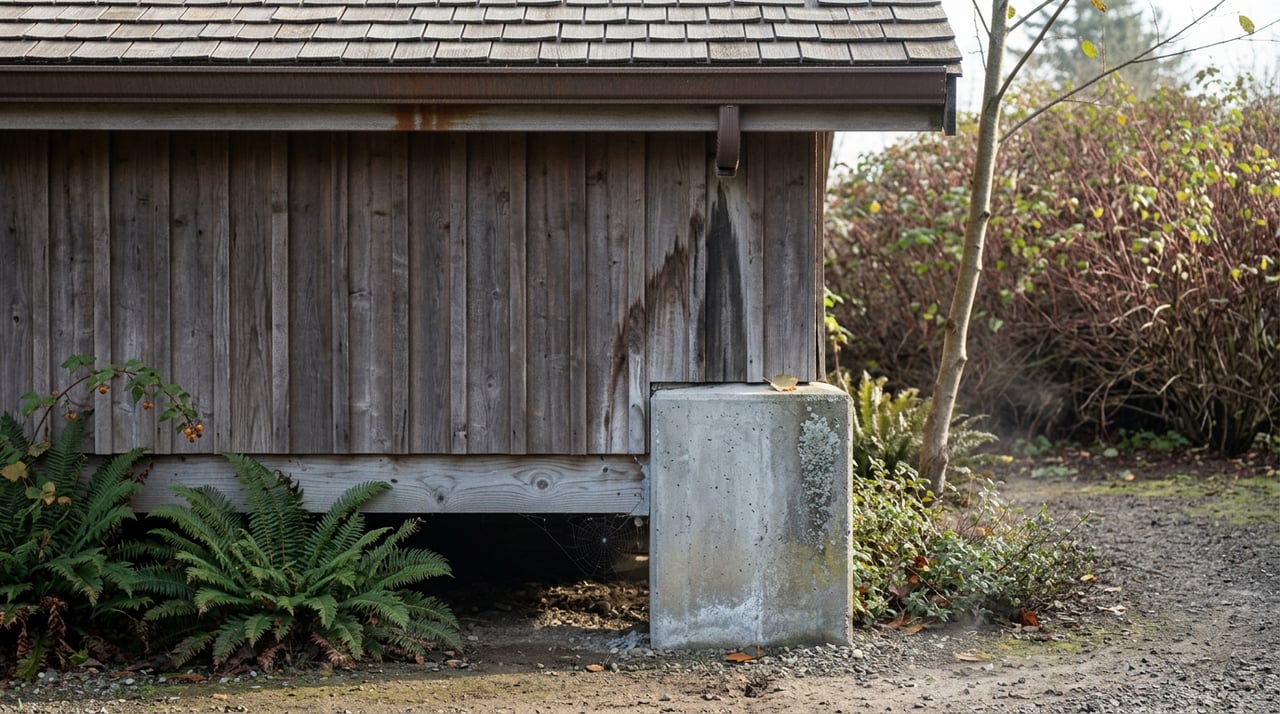
As KLCC reported, the Lane County Board of Commissioners voted 3-1 on July 7, 2026 to overrule their own staff and grant retroactive building permits for a cluster of structures built without any permit at all on two parcels along the McKenzie River near Walterville. KLCC's earlier report described the May 12, 2026, hearing, which ran out of time before everyone who wanted to speak could be heard, so the case came back in July for a second round. County planner Noray-Ann Spradling had found the structures sitting inside the riparian setback, the buffer meant to protect the vegetation that stabilizes the riverbank. A neighbor, Mark Shaffer, described a shed, a retaining wall, and an accessory dwelling unit tucked where you couldn't see them from the road. An ODFW regional habitat biologist, Joe Stack, had kayaked the side channel between the two properties and reported signs of spring chinook salmon, which is listed under the Endangered Species Act, and the western pond turtle, which is proposed for listing. Staff had denied the permit twice.
The property owner won anyway. Her attorney argued that denying the permits outright would amount to a total taking of the property under the U.S. Supreme Court's ruling in Lucas v. South Carolina Coastal Council, since the setback would leave her with no usable building area at all. Commissioners agreed and voted to bring the structures into compliance retroactively.
Whatever you think of that outcome, it tells buyers something the median price on a McKenzie River listing never will. The riparian setback is real, the county still measures against it, and Lane County's own recovery deadlines have already passed for a lot of the corridor's vacant lots. But the line isn't automatically the end of the conversation either. Getting past it took two hearings, a takings argument, and a vote. If you're shopping a "buildable" lot in Blue River, Vida, Leaburg, Rainbow, or Finn Rock, the real question isn't whether the setback exists. It's which side of this year's precedent your specific parcel falls on, and what it would cost you to find out.
The rule the board just tested
The McKenzie is the sole source of drinking water for the city of Eugene, and Lane County's riparian rules exist to protect that watershed along with fish and wildlife habitat. Under Lane Code 16.253 and 16.290, the setback runs 50 feet from the ordinary high water mark in Rural Residential zones and 100 feet in Farm and Forest zones. A lot of homes destroyed in the Holiday Farm Fire were built decades before those distances were tightened, meaning many were legal nonconforming structures the day before the fire took them. They sat closer to the river than a brand-new home could be sited today.
That split, conforming versus nonconforming, is what decides how a vacant McKenzie lot actually behaves once you try to build on it, and a listing photo of river frontage won't tell you which side of the line a given parcel is on.
The filing window that already closed, mostly
When the legislature passed House Bill 2289 and Senate Bill 405 after the 2020 fires, it let property owners rebuild in the same footprint without a full planning review, but that relief had a shelf life. Lane County's own rebuild guidance states that nonconforming structures, including anything in a riparian setback area or F1 and F2 forest zones, needed a building permit application submitted by September 30, 2025, while conforming structures were given 60 months to complete a replacement. That filing date passed about ten months ago.
For a lot where the prior home sat inside the setback and the owner never filed, the streamlined path is gone. A rebuild now needs a Type II Riparian Modification application, which carries a $2,756 fee and has to meet the current setback in full, not the looser standard the original home was built under. On a narrow river lot, that can shrink the buildable pad, push it toward the road, or run it into the road right-of-way setback on the other side.
The July decision shows that streamlined isn't the only path left. A property owner who missed every deadline and built without a permit for years still found a route through, by arguing the setback would otherwise leave zero usable footprint. That is a real option under the law. It is also not something to count on when you're pricing an offer. It required an attorney, two public hearings, and a fact pattern where full enforcement genuinely would have made the whole parcel unusable.
If a lot's building history is unclear, Lane County can often help establish where the old footprint sat using LIDAR survey data covering the McKenzie Valley, aerial imagery, and assessor records, which matters if the foundation was already scraped and hauled off, as many were.
Before you make an offer on a vacant or partially rebuilt McKenzie corridor lot, get these answers in writing, not verbally from the listing agent:
- Was the prior structure inside the riparian setback, and is there a completed Riparian Declaration on file with Lane County Land Management?
- Did the owner submit a building permit application before September 30, 2025, or has the streamlined rebuild option already lapsed for this parcel?
- Is there a Legal Lot Verification on file?
- If the foundation is gone, what do Lane County's LIDAR and assessor records show for the original footprint?
The 2030 date that isn't the deadline you think it is
Some corridor listings advertise a rebuild window running through 2030. That figure is real, but it belongs to a different program than the one that governs whether you can build in the same footprint. Lane County successfully petitioned the state to extend, through September 5, 2030, the ability for fire survivors to keep living in RVs on their properties as temporary dwellings while they rebuild. That's a housing bridge for people already in process, not an extension of the September 30, 2025 filing deadline for a nonconforming structure's building permit application. Worth confirming which program a listing is actually referencing before you assume you have until 2030 to make a decision.
Why the dirt got more expensive, not less
The instinct is to assume a burned-out valley means depressed land prices. The opposite happened. Property values in the McKenzie corridor rose after the fire rather than falling, because many former owners chose to sell rather than rebuild, which tightened the supply of the affordable and mid-range housing that had existed before, according to Tabitha Eck, executive director of the McKenzie Community Land Trust, in an interview with OPB. Fewer legally buildable lots chasing the same demand for river access is a straightforward scarcity story, and it's the reason a cheap-looking parcel on paper can still command a real price once you account for what actually changed underneath it.
The alternative: buying the house, not the dirt
The McKenzie Community Land Trust took a different approach to that scarcity. Its Rose Street Neighborhood in downtown Blue River separates the price of the home from the price of the land underneath it, since the trust holds the land itself. The first cluster of homes there sold for roughly $250,000 to $275,000, about half the typical price of a McKenzie River area home, because the buyer isn't paying for land that has grown scarcer since 2020. The trust's own priority is fire survivors and valley workforce, including school district and Forest Service employees who lost homes, so it isn't a general-market substitute for buying a private lot. What it shows is that the corridor now runs two different paths to ownership at once: the open market, where the setback and the lapsed filing window are live variables in every offer, and the land trust model, where the county's setback math was already solved before the home went up for sale.
For an investor or a family weighing rural acreage in East Lane County, the corridor's math is genuinely different from a standard rural purchase anywhere else in the county. The zoning history, the setback line, and this year's precedent all touch what a parcel is actually worth in ways a median-price comparison never will.
A few questions we hear often
If a McKenzie River lot is vacant now, does that mean I can rebuild whatever was there before? A building permit application had to go in before September 30, 2025, where required. Otherwise, a new structure has to meet the current setback, which may be stricter than what the original home was built under
What if the seller says the foundation was already removed years ago? Lane County can often verify a prior footprint through LIDAR data, aerial imagery, and assessor records even without a physical foundation on site. Ask for that verification before you assume the same building envelope still applies.
Does the July 2026 decision mean the setback isn't really enforced? No. It means the setback can be tested and, in a specific fact pattern where full enforcement would eliminate all use of a parcel, it can be overridden through a legal process most buyers won't want to sign up for. Treat the setback as real, price the risk in, and don't assume a favorable outcome without walking through it yourself.
The McKenzie corridor is still one of the more genuinely interesting corners of East Lane County to buy into, with river access, a working school and fire district, and a community that has spent five years rebuilding piece by piece. It's also a market where the rules under some of the lots currently for sale changed, and where this year's biggest test case is worth understanding. If you're looking at acreage or a riverfront parcel anywhere in East Lane County and want someone who will pull the zoning and setback history before you write an offer, not after, Chuck Wetherald and the team at Worthland Real Estate can walk the specifics of a given parcel with you. Get your free home value report to start the conversation, whether you're buying, selling, or just trying to understand what a particular piece of the valley is actually worth today.
This article is general information, not legal, tax or financial advice. Consult a qualified professional about your situation.